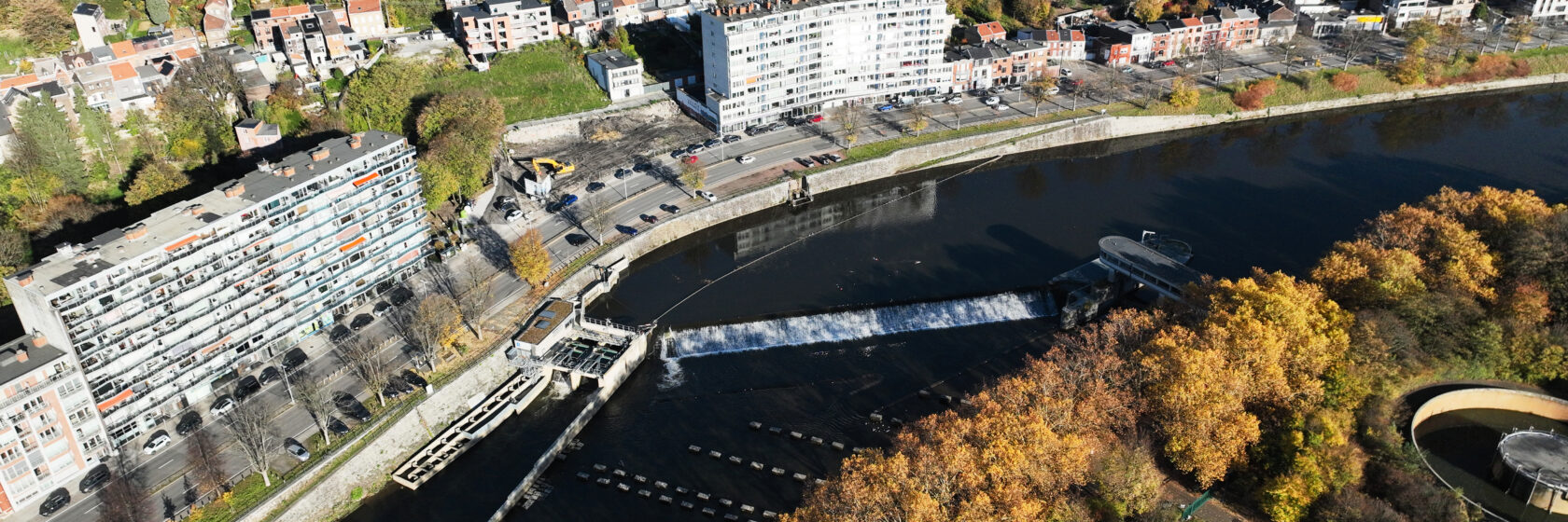
Water-resilient redevelopment along the Vesdre and Ourthe
Following the floods of July 2021, Sweco contributed to the redevelopment of severely affected Walloon municipalities, including Verviers, Trooz and Liège. Commissioned by the Walloon Public Service, we supported these municipalities with hydrological and urban planning studies aimed at strengthening water resilience and long-term adaptability.
In Liège, this work resulted in an implementation-ready masterplan for the area stretching from the Ourthe canal to its confluence with the Vesdre, bringing together water management, landscape integration and spatial development.
- Expertise:
- Water
- Client
- Service Public de Wallonie (SPW)
- Location
- Liège, Verviers and Trooz, Belgium
- Services
- Hydrological study, urban planning study, masterplanning, climate adaptation, landscape integration
- Partners
- City of Liège, Idea Consult
A masterplan for the confluence of the Vesdre and Ourthe
In September 2023, a second series of studies began, with Sweco supporting the City of Liège through two separate assignments: a hydrological assessment and technical solutions for three critical locations in Bressoux, and an implementation-ready masterplan for the banks of the Ourthe canal through to its confluence with the Vesdre.
The central question was: how can the area be made more water-resilient while preserving its existing spatial and functional dynamics?
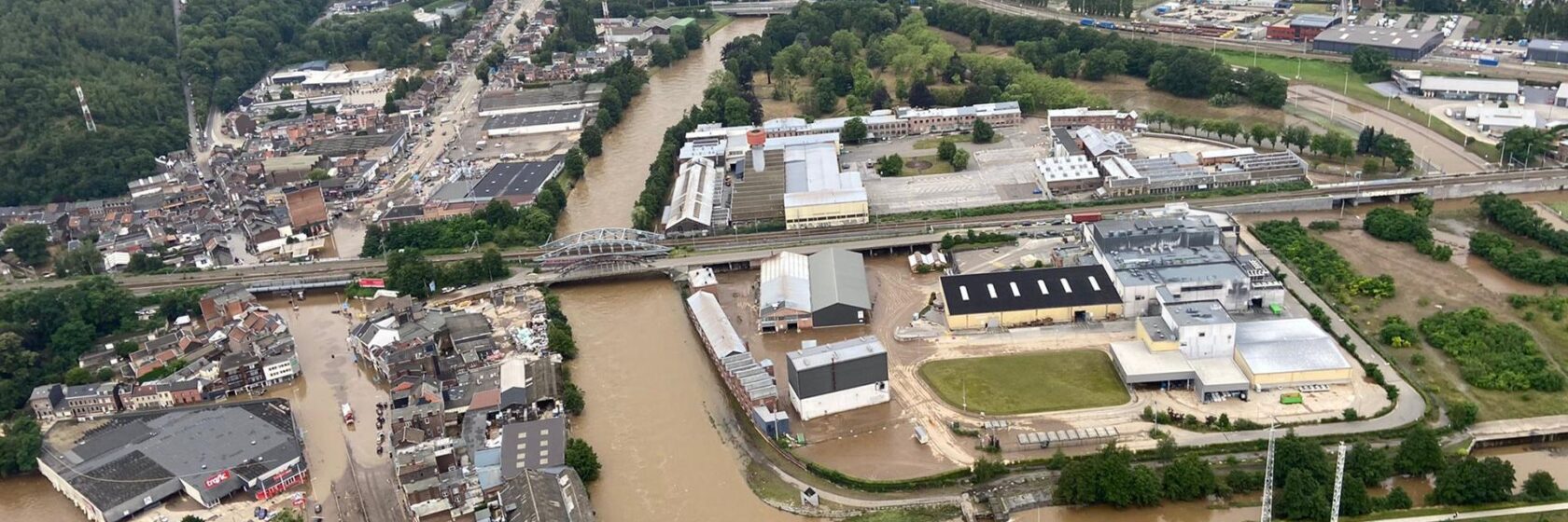
From analysis to preferred scenario
For the masterplan, our team analysed flood risks, with particular attention to the Angleur district and previous studies carried out for the site. Based on this analysis, we developed two scenarios exploring different principles for resilient development. The assessment of these scenarios led to a preferred option, which now forms the basis for the area’s further development.
Our approach combines:
- nature-based solutions, such as temporary floodable areas and the removal of impermeable surfaces;
- hydraulic measures, including temporary watertight barrier systems and pumping stations designed for flood conditions and linked to temporary flood storage zones.
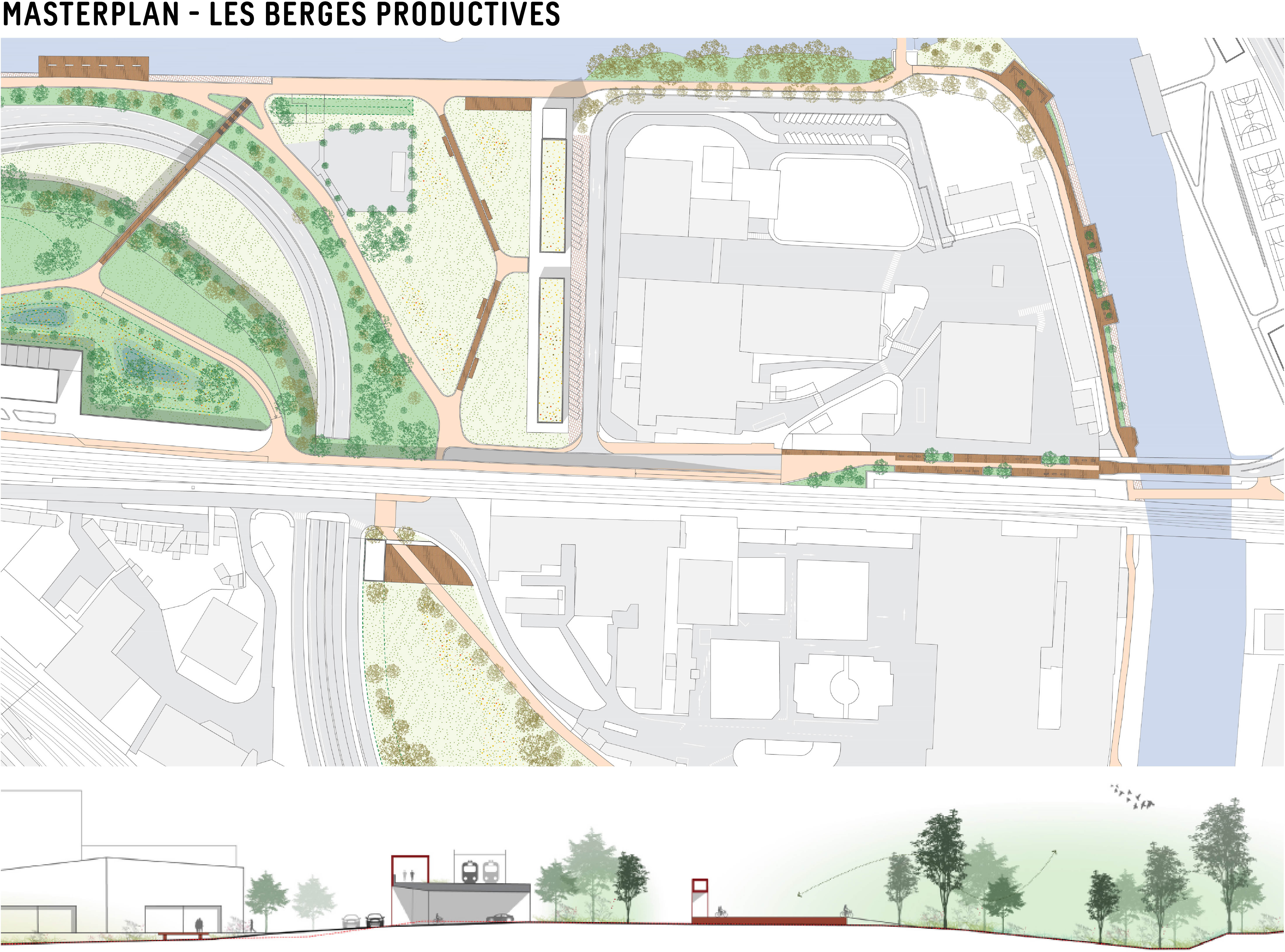
Creating space for both water and everyday use
The preferred scenario introduces new urban dynamics around key station areas and connects them to a network for active travel. New cycling and walking routes improve accessibility across the area and are supported by targeted programming.
At the same time, the masterplan takes into account the landscape integration of a unique zinc flora habitat, as well as the restructuring of open spaces and the built environment. The result is a design that responds to water resilience, flood management and the spatial reality of the area.
Part of a regional recovery strategy
The Liège assignment forms part of a wider series of studies for municipalities severely affected by the floods. Urban planning support was also provided for Verviers and Trooz. Together, these projects show how hydrology, urban planning and design can contribute to a more resilient future for the affected valley areas.