Climate Adaptation Scan for Sint-Niklaas and Stekene
How can a city become more resilient to heat stress, drought and flooding? This was the central question behind the climate adaptation scan carried out by Sweco, together with the Flemish Environment Agency (VMM), for Sint-Niklaas and Stekene.
- Expertise:
- Climate resilience & nature
- Client
- Vlaamse Milieumaatschappij (VMM)
- Location
- Sint-Niklaas & Stekene
- Services
- Climate adaptation, policy planning, air quality
Using the PLAN tool and PROJECT tool from the Flemish Climate Portal, we mapped the climate risks and translated them into concrete measures, spatial design proposals and an investment agenda. For the first time, the analysis also examined the impact on air quality, using the new local air quality screening tool. In this way, a technical analysis became a practical instrument that enables both municipalities to invest purposefully in a climate-resilient and healthy living environment. We mapped the impacts of climate change in very concrete terms, while also showing how smart interventions, such as greening and creating more space for water, can reduce those impacts to a safe level.
Climate change calls for local solutions
Heatwaves, periods of drought and heavy rainfall are becoming increasingly frequent as a result of climate change. Their effects are also felt locally: health problems caused by heat stress, damage to infrastructure and buildings due to flooding, reduced agricultural yields as a result of water scarcity, and more.
The health impacts are particularly pronounced in built-up areas. City centres, village cores, business parks and densely developed residential neighbourhoods heat up more quickly and cool down more slowly. This increases the risk of health problems and puts growing pressure on public space.
Despite improvements in recent years, local air quality in many places still exceeds health-based thresholds. This places pressure on permitting policy and poses a risk to the health of vulnerable groups.
Addressing these challenges requires a clear understanding of where the risks occur and which measures will have the greatest impact. That is exactly what a climate adaptation scan provides.
Data that provides direction
A climate adaptation scan systematically maps the impacts of climate change and translates them into an actionable adaptation strategy. Using the PLAN tool and PROJECT tool from the Flemish Climate Portal, together with the air quality screening tool, we analysed the risks of heat, drought, flooding and air pollution at neighbourhood level. On that basis, we determined which package of measures would be needed to minimise the impact as much as possible.
Based on this analysis, we developed measures at different scales: from municipal policy programmes and neighbourhood-level interventions to the redesign of specific project locations. In doing so, we brought together data, design research and policy advice into a single integrated strategy.
With this climate adaptation scan, we not only make the risks visible, but also translate them into concrete interventions and design proposals at neighbourhood and municipal level.
Miechel De Paep, Expert Climate Adaptation
From strategy to street level
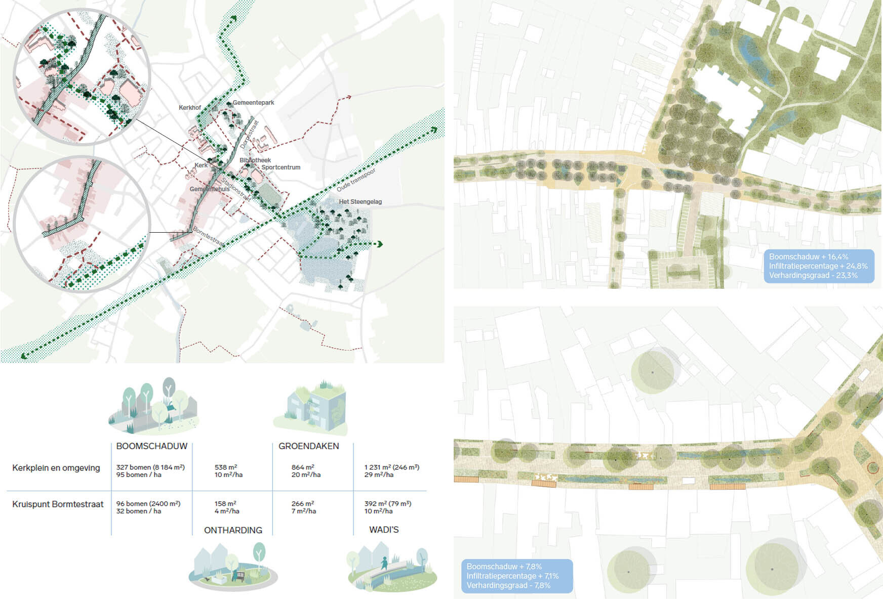
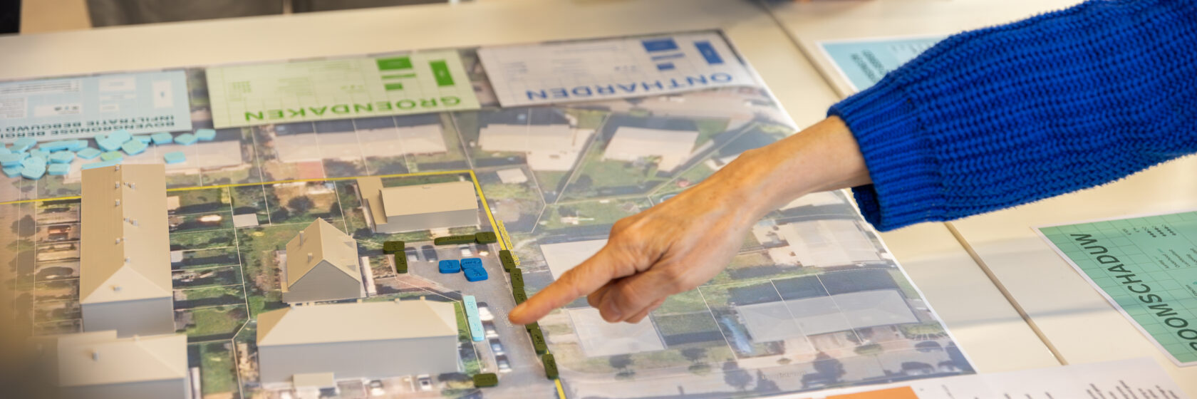
For Sint-Niklaas and Stekene, we examined a broad range of measures, including tree shade, depaving, green roofs, swales, underground infiltration systems, infiltration ponds and small weirs. We also assessed several mobility scenarios in terms of their local effects on air quality and land use.
These measures were then spatially tested through a series of case studies, including the Parklus, Bookmolenstraat, an SVK site, the Kemzeke landscape chamber, Dorpstraat in Stekene and the northern lobe of Sint-Niklaas. This made it possible to show how policy objectives can be translated into feasible, deliverable projects on the ground.
The scan resulted in an investment agenda and concrete policy instruments. For Sint-Niklaas, it builds on existing policy frameworks. For Stekene, the scan is an important building block for overarching visions and, in the longer term, for a Spatial Policy Plan with associated policy frameworks.
Measurable impact for tomorrow
The analysis shows that targeted climate measures can make a significant difference.
For heat, the area affected by severe heat stress can be reduced by 43% in Sint-Niklaas and 40% in Stekene. As a result, in many neighbourhoods, more than half of the area meets the objective of remaining free from severe heat stress. Only the centre of Sint-Niklaas and a number of peripheral business parks remain vulnerable.
The effects on flooding are also tangible. In Sint-Niklaas, the number of buildings at risk could fall significantly by 2050 through a combination of swales, depaving, green roofs and underground infiltration systems. In some locations, such as the south and east of the urban core and the area around the Stekense Vaart, additional measures will still be needed.
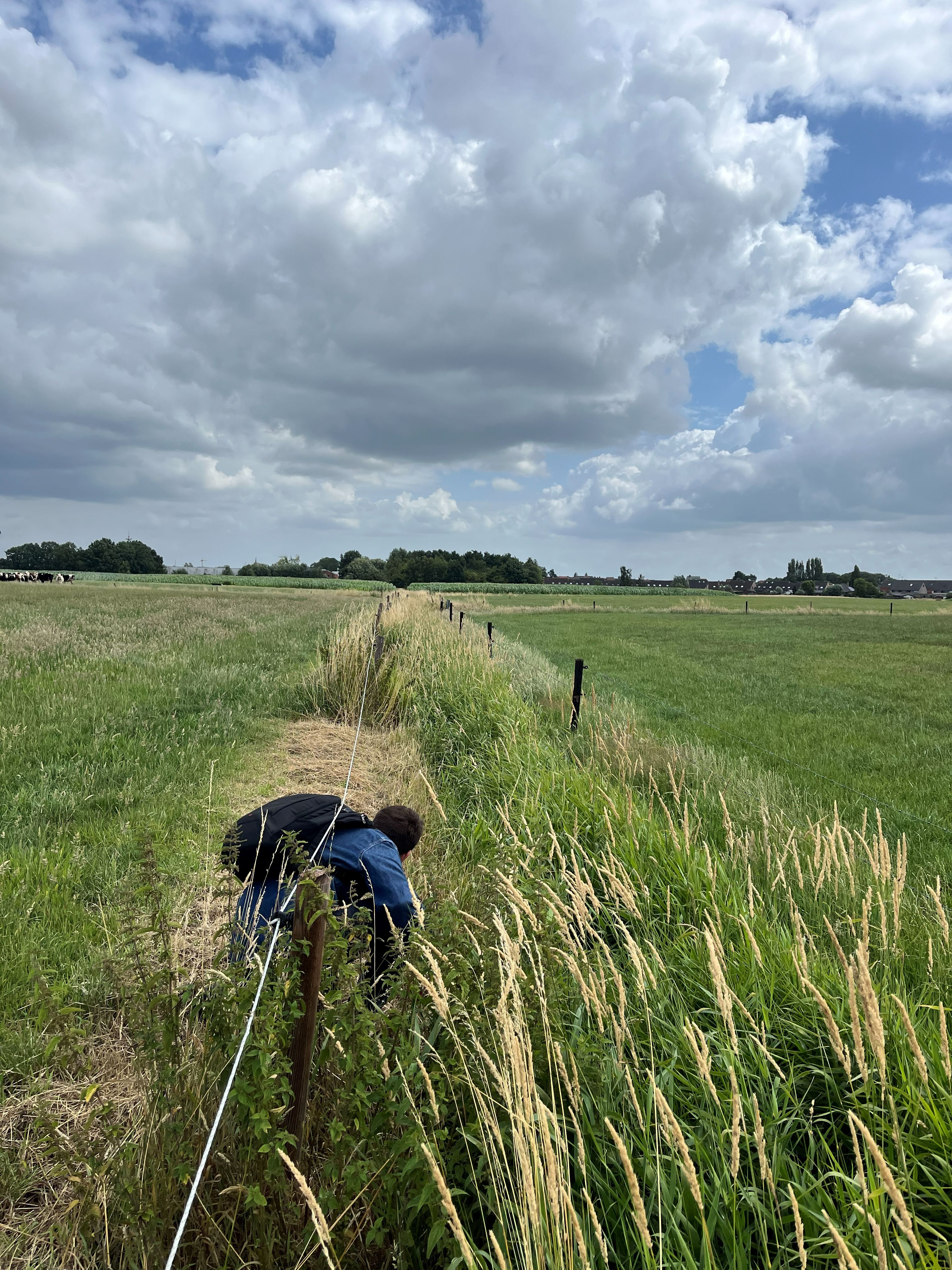
For drought, the focus is on a combination of interventions in both built-up and open areas. In the Kemzeke landscape chamber, for example, we explored how the historic system of raised fields and ditches could evolve into a sponge landscape that retains water for longer, slows run-off and maximises infiltration.
Greening streets and squares in urban and village centres, while creating more space for water, often requires measures to calm traffic and make public space less car-dominated. This also delivers significant benefits for air quality. Through smart mobility interventions, we were able to significantly reduce air pollution hotspots and divert traffic flows away from the most vulnerable facilities, such as schools, residential care centres and hospitals
The climate adaptation scan is therefore not only an analysis of the current situation, but above all a concrete framework for action. It enables cities and municipalities to invest purposefully in a resilient, healthy and future-proof living environment.