
Sweco Belgium
Spatial policy plans: making today’s choices for tomorrow’s city
We expect a great deal from our cities and municipalities. They must provide space for housing, businesses and amenities. They must offer cooler spaces on hot days, retain water during heavy rainfall and, at the same time, safeguard open space. They must also respond to a changing population: families, people living alone, young people and older people all have different needs.
This makes spatial planning complex. But complexity is no reason to wait.
The question, therefore, is not whether cities and municipalities will change. They do so every day, through permits, redevelopment schemes, construction projects and investments. The real question is: are we changing purposefully, guided by a shared long-term vision?
That is where the value of a spatial policy plan lies.
A policy plan is not a document to be filed away
A strong policy plan clearly sets out which qualities a city or municipality wants to preserve and enhance.
It guides the choices we make today, but whose consequences will be felt for decades to come.
How do we make space for greenery and water?
Where is densification desirable?
Which open spaces deserve protection?
Which amenities belong in which centres and neighbourhoods?
Where do we provide space for businesses?
These are not questions with a single answer.
They require trade-offs and the courage to set priorities.
Space is scarce. Every square metre we develop today helps determine the possibilities of tomorrow.
Julien Bacq, urban planner at Sweco
That is why we always approach spatial policy planning from different, interconnected perspectives:
Greening | Demographics |
Mixed use | Hydrology |
These are not separate themes.
Every spatial choice affects the other ‘levers’ available to a local authority.
That is precisely the strength of a policy plan: it brings together priorities, interests and scales in one shared narrative.
Quick solutions rarely provide a sustainable answer
Local authorities work under considerable pressure. An application, a mobility bottleneck, flooding or a request for additional housing often requires a rapid response.
Understandably. But those who assess each case separately risk losing sight of the bigger picture.
A spatial policy plan restores that coherence. It helps test short-term decisions against a broader ambition. Not to slow down development, but to enable it in the right place and to the right standard.
Take densification.
More homes in well-equipped centres can support amenities, encourage sustainable travel and safeguard open space elsewhere. But densification without attention to public space, greenery, water, visual quality and quality of life increases pressure on a neighbourhood. So the challenge is not simply to build more or less. The challenge is to densify intelligently, in line with the character and carrying capacity of a place.
The same reasoning applies to climate adaptation.
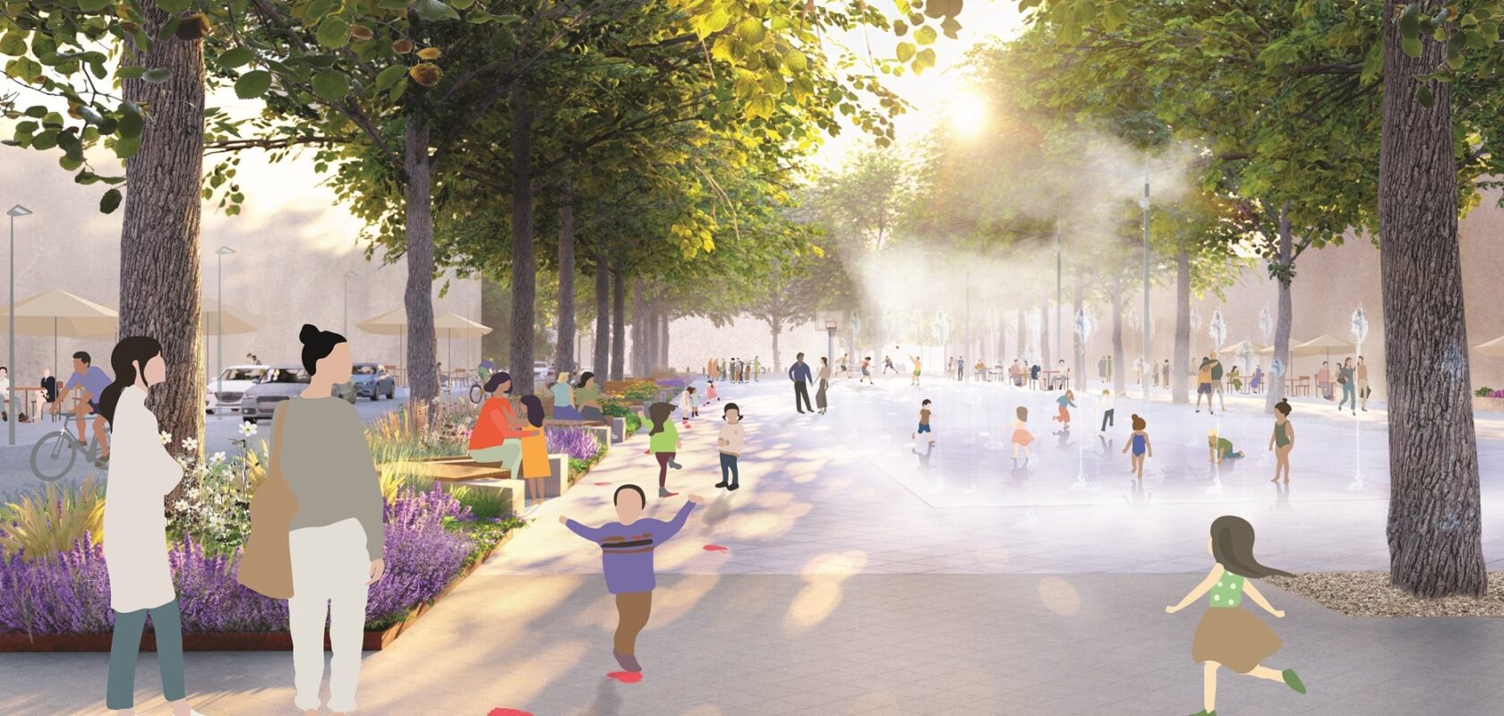
A tree, a depaved square or a water buffer are not isolated interventions added afterwards. They belong at the heart of spatial choices. They help limit heat stress, retain rainwater and make neighbourhoods more pleasant.
This is how opportunities for synergy arise: one well-considered spatial decision can contribute simultaneously to climate resilience, health, biodiversity and social cohesion.

Data and experience provide direction
Spatial planning is about people. Maps, models and statistics are indispensable, but they never tell the full story.
Residents experience their neighbourhoods differently. They know where water collects, which route feels unsafe, where it becomes too hot on warm days or which places spontaneously bring people together.
This local knowledge deserves a place in the planning process.
At the same time, it is important to consider perceptions alongside facts. What residents experience as a lack of greenery may, for example, be related to the accessibility, design or quality of existing green spaces. What appears on a map to be a logical location for densification may, in reality, put pressure on vulnerable public space. The best spatial choices emerge when data, design research and dialogue reinforce one another.
Sweco brings these elements together. Through spatial and data analyses, design research and dialogue with stakeholders, we make opportunities and tensions visible. This creates a vision that is robustly grounded and aligned with what people value in their living environment.
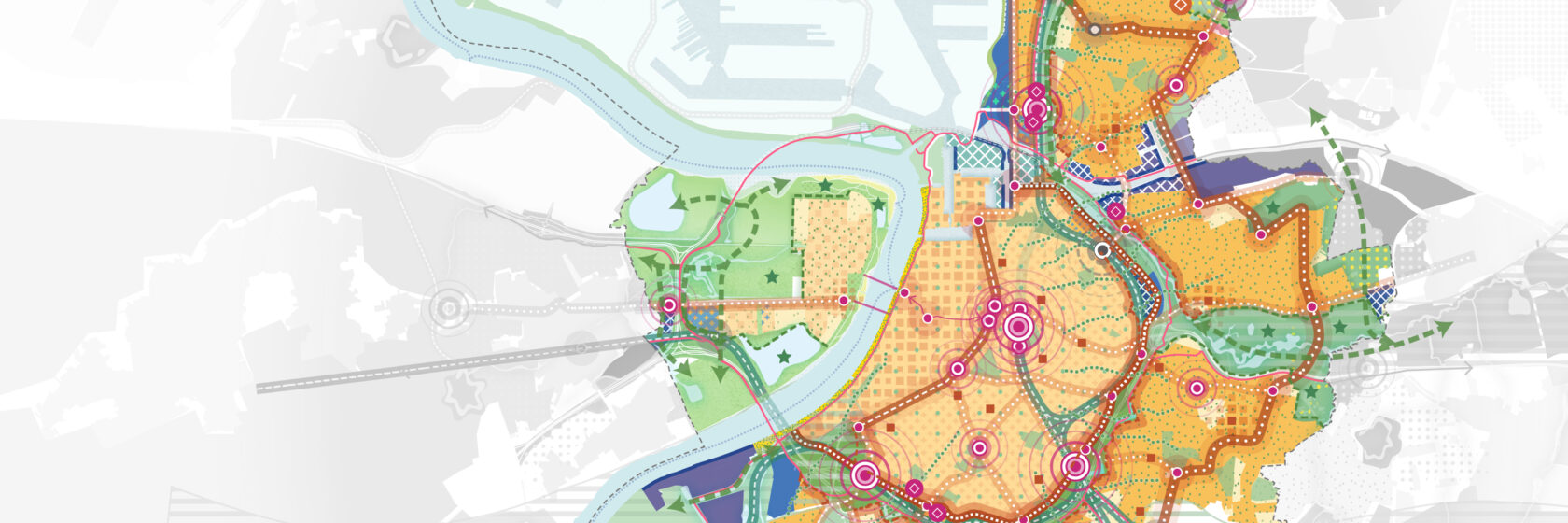
Although the policy planning procedure is fixed, we always deliver a unique, tailored process that best suits the municipality or city. We move quickly between themes and areas of expertise. This enables us to develop a policy plan that has broad support, can readily be applied in practice and does not end up gathering dust in a drawer.
Kathleen De Beukelaer, Strategic Planning Consultant at Sweco
From ambition to actionable instruments
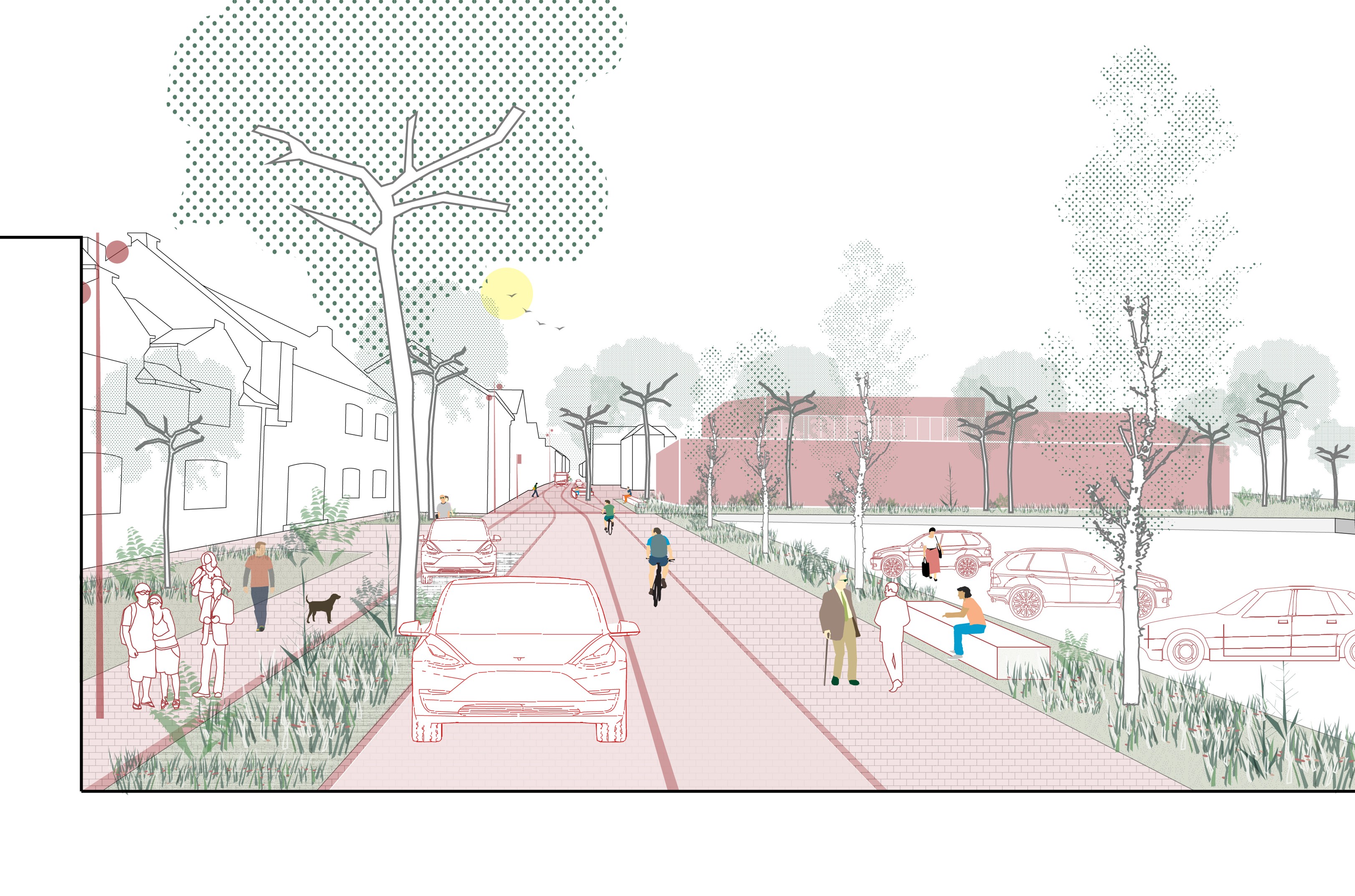
A policy plan only gains meaning when it translates into concrete choices: by translating ambitions into strategic frameworks, spatial implementation plans (RUPs), masterplans, visual quality plans and permitting frameworks.
This step is essential. It gives local authorities a clear basis for discussions with developers, residents and other partners. A clear legal and planning framework clarifies which development is desirable where, which qualities we want to protect and what added value a project can create for its surroundings.
Our added value lies in connecting disciplines and scales. Spatial planners, urban planners, mobility experts, water specialists, climate advisers and process facilitators examine the same challenge from their respective areas of expertise. This means themes such as housing, the economy, open space, mobility, climate and water do not become separate tracks, but parts of one spatial narrative.
Sint-Niklaas: spatial policy as an ongoing collaboration

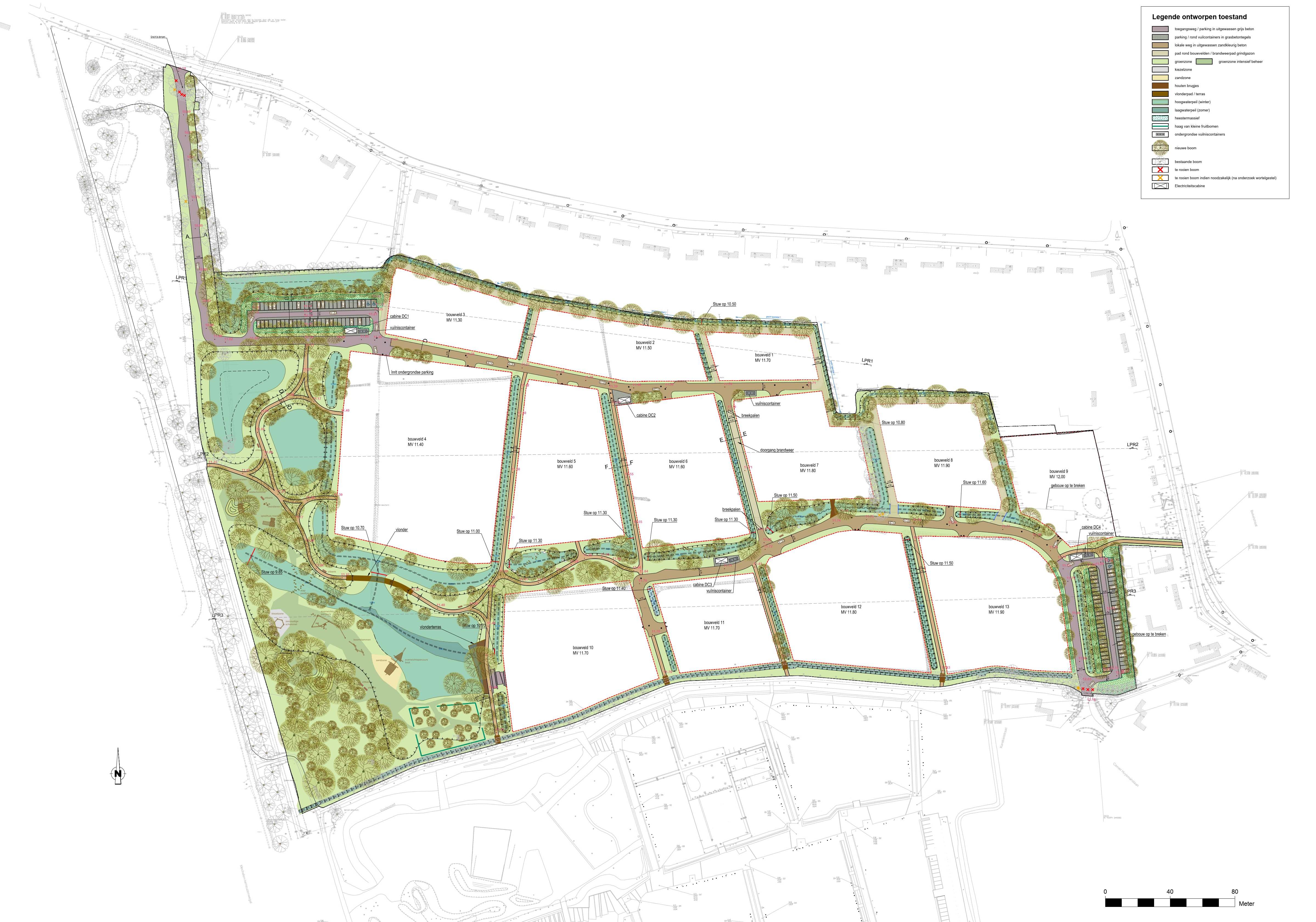
The City of Sint-Niklaas shows how spatial policy is more than a single planning process, and how a spatial policy plan can build on a rich planning tradition, thematic research and concrete urban renewal projects. Sweco has supported Sint-Niklaas in its spatial policy for decades, a collaboration that continues with the development of the city’s spatial policy plan.
Guided by the ambition of a prosperous and socially inclusive city, the Spatial Policy Plan is built around four visions for the city:
- the 15-minute city,
- the enterprising city,
- the attractive residential city,
- the resilient city.
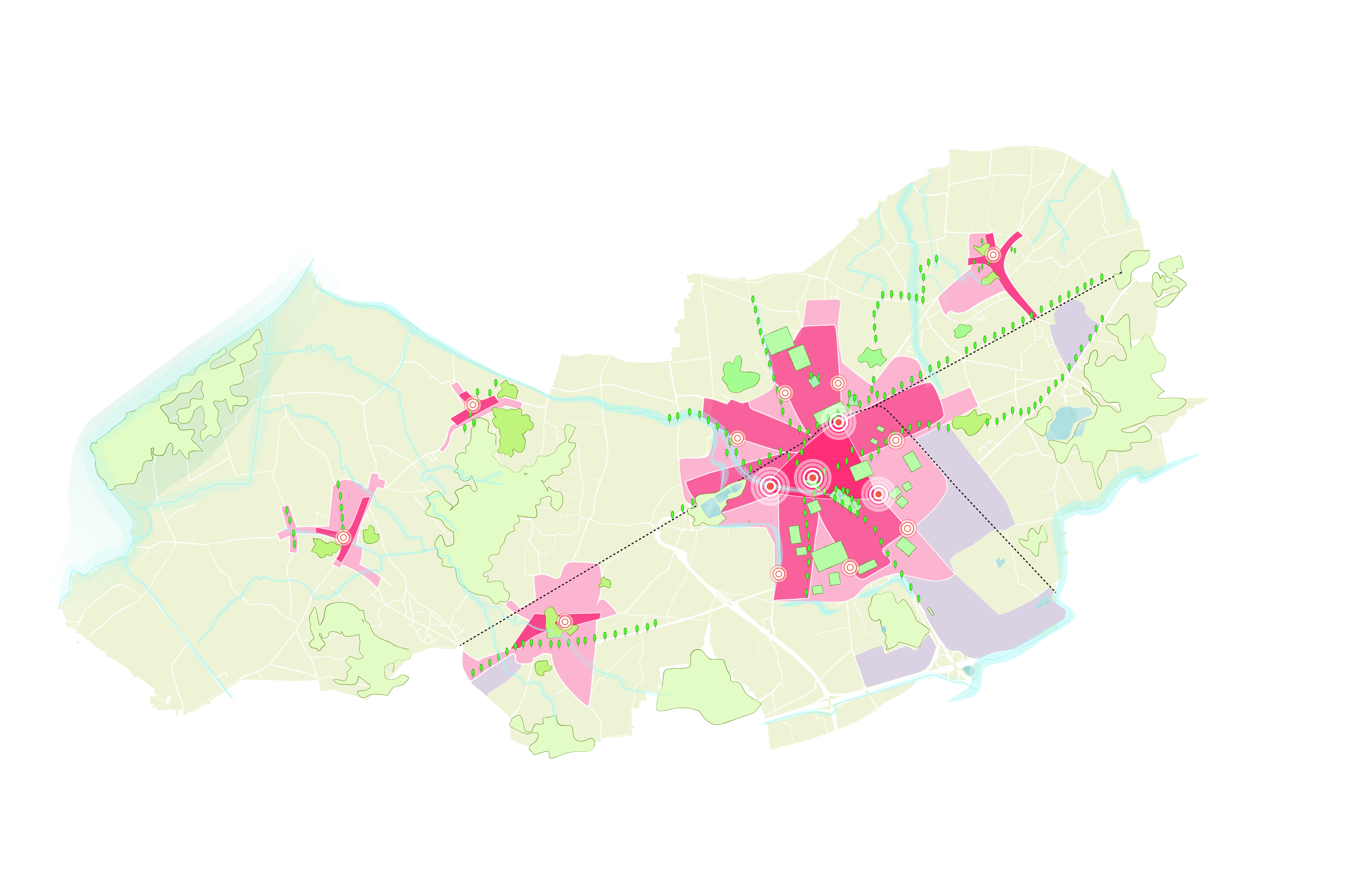
The spatial model applies the principle of the Lobbenstad, which combines urban development with green open space close to urban centres. This is complemented by the current building shift concept. This vision is further translated into two policy frameworks.
- ‘Vibrant centres’ focuses on urban renewal projects for the experience centre, three future places as drivers of growth and change, urban residential lobes and independent villages with their own identity.
- ‘Open space’ recognises farmers as custodians of the landscape, with a Z-shaped forest structure, the Moervaart Valley and blue-green lobes extending deep into the urban centre and villages.
The enterprising city provides space for integrated economic activity in the urban centre, the revitalisation of business parks and an explicit economic role for farmers in the food strategy.
Sweco guides the integrated process through spatial research, design research, strategic environmental impact assessment and participation.
We connect a long-term vision with concrete actions and projects that the city can implement on the ground in the coming years.
Providing guidance for spatial choices
A spatial policy plan cannot eliminate all tensions. But it does make them open to discussion. It identifies where interests clash, where opportunities lie and which choices are needed to preserve and enhance qualities.
This is precisely where Sweco supports cities and municipalities. We help to untangle complex spatial issues, map out different future scenarios and translate ambitions into feasible steps. With substantive expertise, data, design research and participation, we provide authorities with the necessary foundation to confidently guide their spatial development.
The result is not a rigid blueprint for the future, but a shared, actionable compass. A compass that provides sufficient direction for today’s decisions, while remaining flexible enough to respond to changing circumstances.
Other news
Spatial policy plans: making today’s choices for tomorrow’s city
Read more
From housing study to action-oriented housing policy
Read more

Sweco welcomes Stendess and confirms ambitions in sustainable steel engineering
Read more